
File:Europe location.png

Size of this preview: 800 × 600 pixels. Other resolutions: 320 × 240 pixels | 640 × 480 pixels | 1,024 × 768 pixels | 1,280 × 960 pixels | 1,600 × 1,200 pixels.
Original file (1,600 × 1,200 pixels, file size: 420 KB, MIME type: image/png)

|
This locator map image could be re-created using vector graphics as an SVG file. This has several advantages; see Commons:Media for cleanup for more information. If an SVG form of this image is available, please upload it and afterwards replace this template with
{{vector version available|new image name}}.
It is recommended to name the SVG file “Europe location.svg”—then the template Vector version available (or Vva) does not need the new image name parameter. |
| Description |
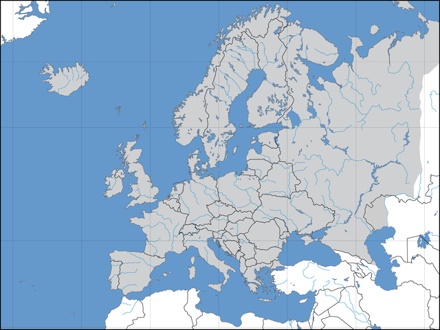
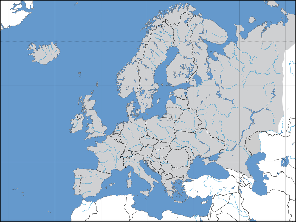
Deutsch: Politische Karte des Kontinents Europa. Leere Lagekarte zur Darstellung der Lage von Staaten in Europa. Europa ist grau hervorgehoben. |
||||||||
| Date | 02.09.2006 | ||||||||
| Source | Own work | ||||||||
| Author | David Liuzzo | ||||||||
| Permission (Reusing this file) |
I, the copyright holder of this work, hereby publish it under the following licenses:
This file is licensed under the Creative Commons Attribution-Share Alike 2.0 Germany license.
 You may select the license of your choice. |
||||||||
| Other versions | Derivative works of this file: Convoy Faith route July 1943.png |

| Annotations | This image is annotated: View the annotations at Commons |
File history
Click on a date/time to view the file as it appeared at that time.
| Date/Time | Thumbnail | Dimensions | User | Comment | |
|---|---|---|---|---|---|
| current | 12:40, 8 August 2022 | | 1,600 × 1,200 (420 KB) | Рагин1987 | More correct visualization of the dividing line on the territory of the Caucasus Range |
| 15:50, 31 May 2015 |  | 1,600 × 1,200 (223 KB) | Cmdrjameson | Compressed with pngout. Reduced by 101kB (31% decrease). | |
| 20:39, 21 July 2008 |  | 1,600 × 1,200 (325 KB) | ShakataGaNai | Reverted to version as of 23:32, 9 May 2008 | |
| 14:52, 21 July 2008 |  | 1,600 × 1,200 (323 KB) | European Boy~commonswiki | {{Information |Description= |Source= |Date= |Author= |Permission= |other_versions= }} | |
| 23:32, 9 May 2008 |  | 1,600 × 1,200 (325 KB) | Solestin~commonswiki | correction of Ural border | |
| 20:59, 17 October 2006 |  | 1,600 × 1,200 (444 KB) | David Liuzzo | Correction; Same licensing applies. | |
| 23:00, 3 September 2006 |  | 1,600 × 1,200 (108 KB) | David Liuzzo | {{Information| |Description={{de|Politische Karte des Kontinents Europa. Leere Lagekarte zur Darstellung der Lage von Staaten in Europa. Europa ist grau hervorgehoben.}} |Source= Own Work |Date= 02.09.2006 |Author= David Liuzzo |Perm |
File usage
There are no pages that use this file.